Roopkund Trek How to Reach and Places to See
Roopkund Trek Travel Guide and Route
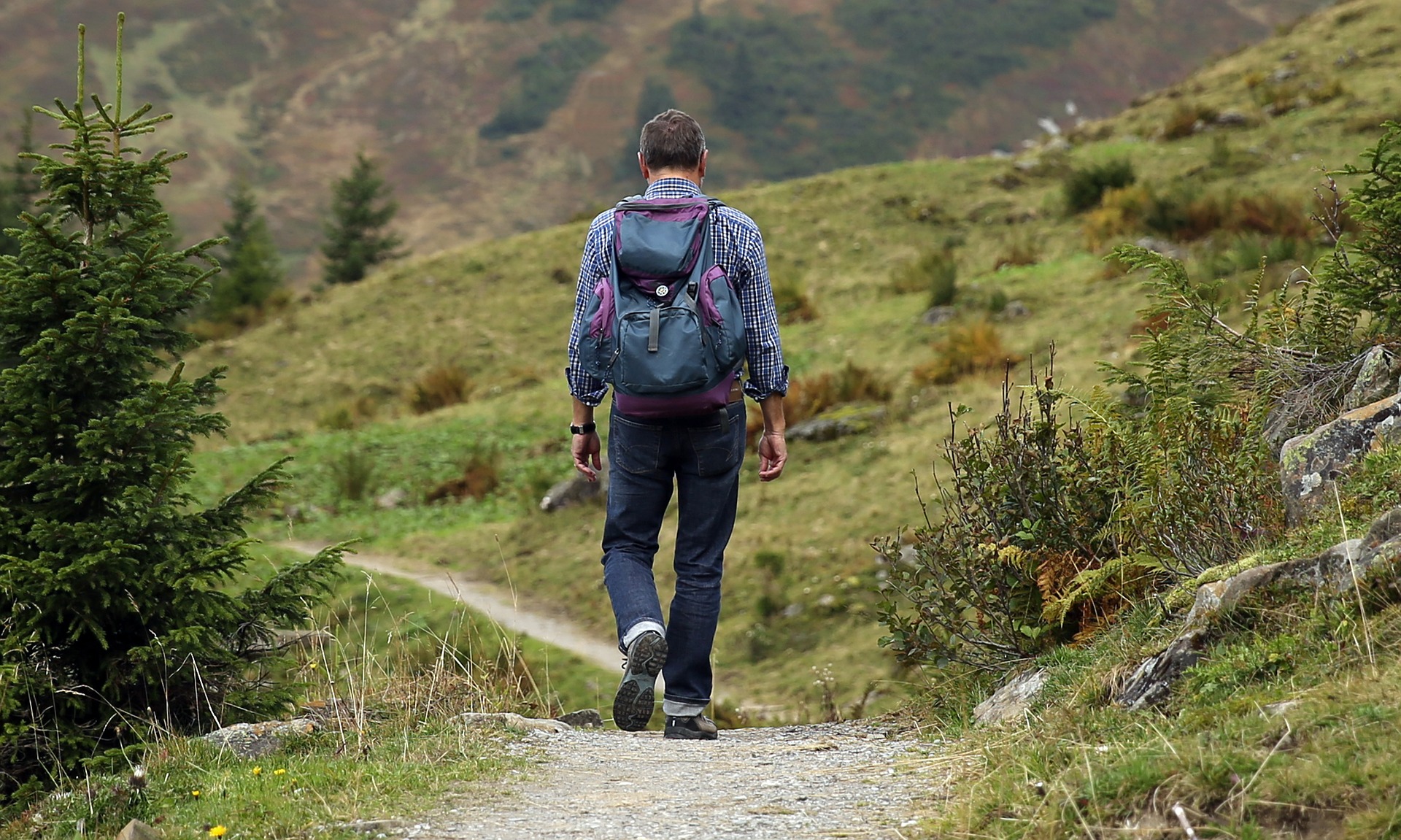
If you are planning to trek in Uttarakhand, the Roopkund trek is a must-do! The trek is filled with deep virgin forests, breathtaking campsites, miles of undulating meadows, snow and ice and the taste of great adventure as you climb from 8000 feet to 16, 000 feet in seven days to nine days.
Roopkund Lake – A Mysterious Lake (Skeleton Lake)
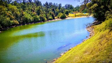
Roopkund is also known as Mystery Lake, since human skeletons and remains of horses from the Paleolithic age were found here. Roopkund is located at the base of Trishul peak and Nanda Ghunti. The lake is nestled amidst panoramic mountain scenery, surrounded by the rock-strewn glacier. Roopkund lake remains frozen for almost all the months of the year. The skeletons around Roopkund are believed to be 500 to 600 years old. While travelling to Roopkund you got a chance to trek through villages rich in Pahadi culture.
Roopkund is one of the most popular treks in India. The Roopkund trail climbs out of splendid dark green forests, suddenly bursting into Ali and Bedni Bugyal, India’s most beautiful high-altitude meadows. Climbing on snow to the Roopkund trek is a heart-pounding thrill.
Nanda Devi Raj Jat Yatra
The great Nanda Devi Raj Jat Yatra is held every 12 years from Nauti village near Karanprayag city to Homkund near Roopkund. The whole yatra is dedicated to Goddess Devi Nanda. Many people from Garhwal and Kumaon region take part in this tough Yatra.
Many stories are also there about the mystery of the Human skeletons of Roopkund. According to research, it was indicated that people from the 12th century to the 15th century died here.
How to reach Roopkund?
The starting point of the Roopkund Trek is Lohajang Pass, which is well-connected to roads. The trek from Bedni Bugyal to Roopkund Trek is difficult and is meant for those who are properly geared up and have prior trekking experience and also easy for Pahadi guys. Roopkund is situated 14 Kms from Bedni Bugyal.
Roopkund Travel Tips
Travelling in Monsoons should be avoided because due to heavy rainfall in the hilly areas of Uttarakhand you can face problems, roadblocks and landslides.
Avoid hiking alone in the Himalayas. Inform someone in your family or friends about your trek and let them know when the trek will begin and end.
Staying in Roopkund
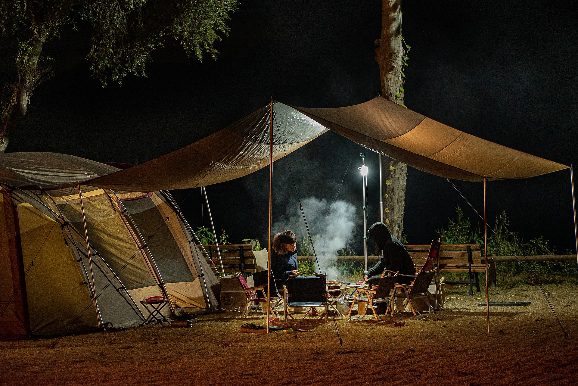
Being a remote area, there are no hotels and restaurants at Roopkund. The trekkers take tents along with them and camp along the trail when they halt at night. Few budget accommodation facilities are available at Wan, which is the last habitable village on the trek.
You will find GMVN Guest House in Wan, which is the last point where the accommodation facility can be found while travelling to Roopkund. During the remaining trekking route, you must carry your own camping equipment and tents for accommodation.
Delhi to Roopkund Travel Route
Delhi – Haridwar – Rishikesh – Rudraprayag – Karnaprayag – Lohajang Pass – Trek (34 Kms) – Roopkund.
Trek Guide Roopkund
Day 1:
It takes up to 10 to 100 hours from Kathgodam to Lohajung. After the glimpse at Tharali, the sight of Mt Nanda Ghunti welcomes you to Lohajung. A beautiful village with wonderful views of Didina valley. Lohajung is a nerve centre of 12 to 15 villages.
Altitude: 7,700 ft(2,347 m)
Time Taken: 10 to 11 hours from Kathgodam
Day 2: Drive from Lohajung to Wan – Trek to Ghairoli Patal
Trail Type: Initially 30 to 45 minutes ascent to Ran Ka Dhar followed by a 20 minutes descent to the Neel Ganga river. A climb of 3 hours from Neel Ganga river to Ghairoli Patal.
Water sources: Carry sufficient water together from Lohajung refill your water bottles at Neel Ganga.
Time Taken: 1-hour continuous drive to Wan and plus 4-hour trek from Wan to Ghairoli Patal.
Altitude: Drive from 7,700ft(2,347 m). Trek starts from 8000ft(2,438 m) to 10,000ft(3,048 m).
Day 3: Ghairoli Patal to Bedni Bugyal
Altitude: 10,000ft(3,048 m) to 11,500ft(3,505 m).
Trek Type: Stiff climb for about 2 hours to Ali Bugyal followed by a gentle trek to Bedni Bugyal.
Water sources: None, carry a minimum of 2 litres of water from the campsite.
Time took: 2 hours minimum (depends on your strength and fitness).
Day 4: Excursion to Bedni Top
Altitude: 11,500ft(3,505 m) to 12,000ft(3,719 m).
Trek Type: Steep climb to Bedni Top.
Water sources: None, carry at least 2 litres of water from the campsite.
Time took: 1 hour.
Day 5: Bedni Bugyal to Patar Nachuni
Altitude: 11,500ft(3,505 m) to 12,700ft(3,871 m).
Trek Type: Easy grade climb at the beginning to a saddle, followed by a gradual descent to Patar Nachauni.
Water sources: None, carry 2 liters water from the campsite.
Time Taken: 4 hours(depends upon your strength).
Day 6: Patar Nachauni to Bhagwabasa
Altitude: 12,700ft(3,871 m) to 14,100ft(4,298 m).
Trek Type: 3 hours sleep ascent to Kalu Vinayak followed by a gradually descending trail to Bhagwabasa.
Water sources: None, carry at least 2 litres of water from the campsite.
Time took: 5 Hours
Day 7: Bhagwabasa to Roopkund to Junargali – Return to Patar Nachauni via Bhagwabasa
Altitude: 14,100ft(4,298 m) to 15,750ft(4,800 m) to 16,000ft(4,877 m) at Junargali and down to 12,000ft(3,719).
Trek Type: Gradual ascent to Roopkund with the last 20 minutes consisting of steep switchbacks. After that 20 to 25 minutes steep climb to Junargali. Tricky descent on the switchbacks from Roopkund and descending trek to Patal Nachuani.
Water sources: None, carry at least 2 litres of water together from the campsite always and refill your water bottles from Patal Nachauni.
Time Taken: 3 hours approx to Roopkund + 2.5 hours return to Bhagwabasa +3.5 hours return to PatalNachuani
Tourist Places to visit in Roopkund
Bedni Bugyal: Bedni Bugyal is the most scenic spot on route Roopkund, which offers the best views of the mighty Trishul Parvat(7, 120 metres). Ali Bugyal is a vast expanse of green meadows with coniferous trees on the slopes. Both Bedni Bugyal and Ali Bugyal act as perfect camping spots while trekking to Roopkund.
For what Roopkund is famous for?
- Roopkund is famous for Mysterious Lake and Trekking.
- A recommended destination for Foreigners and Groups.
- Roopkund is a popular destination for the activities/interests – Adventure, Trekking
Overview Roopkund
- Roopkund trek starting point: Lohjang Pass
- Location: Chamoli Garhwal
- Trek Distance: 38 Kms
- Trek Grade: Tough
- Trek Duration: 7 Days
- Altitude Range: 4900 meters
- Famous for: Mysterious Lake, Trekking
- Best times to visit Roopkund: May, June, July, August, September and October


