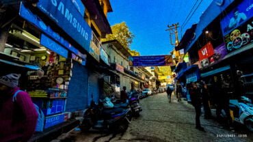
how to reach srinagar garhwal

How to reach Srinagar Garhwal

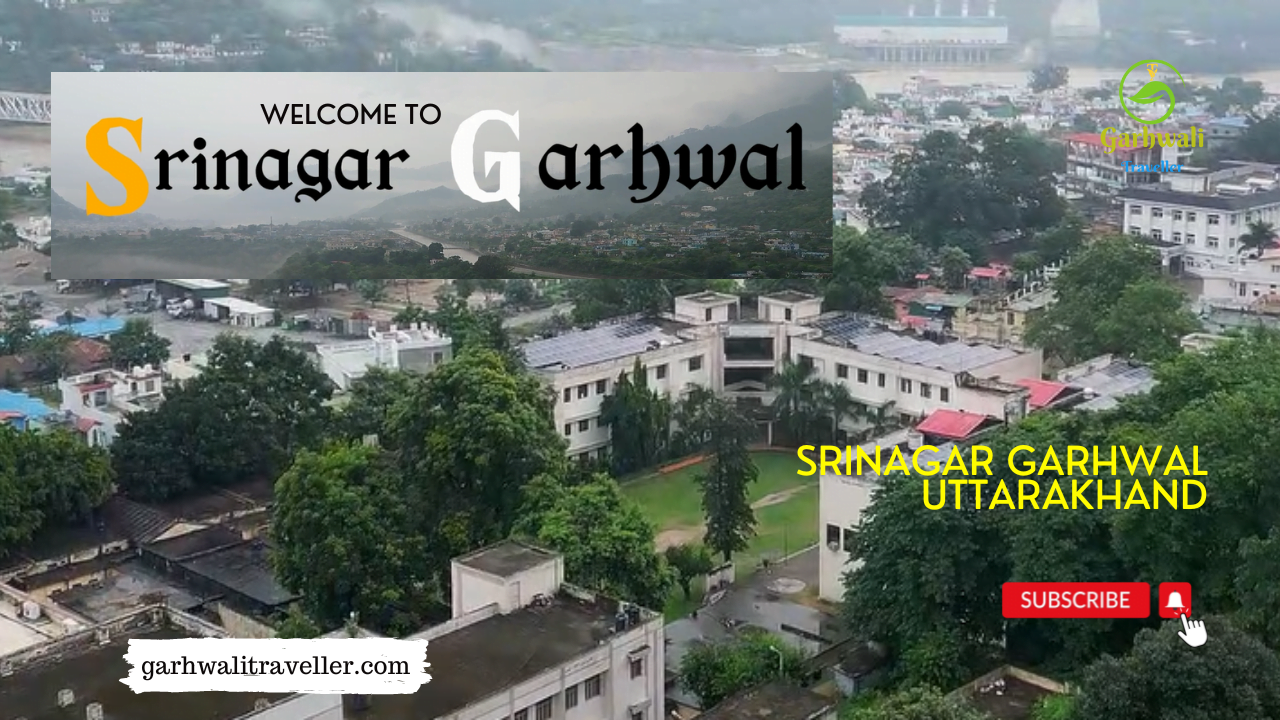
Srinagar town in itself is one of the beautiful towns of Garhwal region. Once upon a time Srinagar was the capital of Garhwal Kings before the arrival of the Britishers. This town is located on the bank of river Alaknanda and comes under Pauri district. Today Srinagar is one of the biggest townships of the Pauri district and a seat of Garhwal University. This city is located on the junction of roads to Kotdwar, Rishikesh, Tehri and Rudraprayag. It is one of the main halting point for the pilgrims of Char Dham Yatra.

If you are planning to visit Srinagar Garhwal and don’t know about the route and other information on how to reach Srinagar Garhwal. In this article we will see how to reach there.

Travel guide to reach Srinagar Garhwal

By Road

Srinagar Garhwal is well connected with motorable roads with major destinations of Uttarakhand and nortnern states of India. You can take a direct bus or cab from ISBT Kashmiri Gate to Srinagar or travel through your personal vehicle, the road conditions are excellent. But during monsoon you may face road block due to heavy rainfall in the garhwal region, so before starting your journey confirm the road conditions.

Cabs and buses are easily available from Delhi, Haridwar, Dehradun, Rishikesh, Pauri, Uttarkashi, Rudraprayag etc. Srinagar town lies on NH – 7 (formally known NH-58).

By Train

The nearest railway station to Srinagar is Rishikesh and Kotdwar, you can take direct train from Delhi to Rishikesh and the rest of the journey is done through bus or cab. Trains to Rishikesh and Kotdwar are frequent and these railway stations are well connected with the major stations of north India.

By Air

The nearest Airport to Srinagar is Jolly Grant Airport Dehradun. Flights from Delhi to Dehradun are easily available also from other major Airports of India. You can take helicopter to Srinagar from Sahastradhara Dehradun. Book your helicopter ticket to Srinagar from Dehradun through pawan hans official website. The fare is just under 4000 INR.

So this was the travel guide to Srinagar Garhwal via different modes of travel. If you still face problem reaching Srinagar then you can directly call us on our official number – 9997199841 our travel guide will consult you free of cost on phone call.

Or you can book helicopter ticket, bus ticket or book a cab to any destination of Uttarakhand with Garhwali Traveller Cab Service.
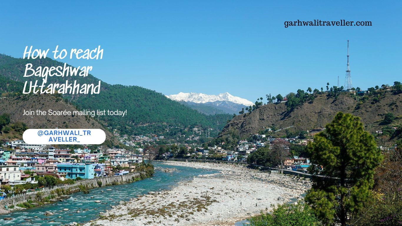
How to reach Bageshwar Uttarakhand

How to reach Bageshwar Uttarakhand

Are you planning to visit Bageshwar? If yes and don’t know how to get there! Then don’t worry, our travel guides have prepared this informative article so that people can reach Bageshwar easily without any problem. Bageshwar town is well-connected with the most important cities and towns of Uttarakhand. If you are planning to visit Bageshwar, then you landed on the right page. In this article, we discussed different modes of travel to Bageshwar. If you are planning to visit Bageshwar, then in this article we will see how to reach Bageshwar by road, air, and train. So let’s get started with our complete travel guide to Bageshwar. But before we go, firstly know the location of Bageshwar.

Location of Bageshwar

Bageshwar city is located in the Kumaon region of Uttarakhand state. It crosses latitudes 29.49 degrees North and longitudes 79.45 degrees East. Bageshwar city lies at the confluence of the Saryu and Gomti rivers. The city is located at a distance of 138 Km northeast of Nainital(the headquarters of the Kumaon region). Bageshwar City is located at a distance of Delhi and 400 Km from the state capital, Dehradun. So this was the brief geography of Bageshwar. Now let’s see how to reach Bageshwar.

How to reach Bageshwar by Road, Air and Train

By Road

Bageshwar City is well-connected by a motorable road network with the major destinations of Garhwal and Kumaon region. You can take a direct bus from ISBT Anand Vihar Delhi to Almora, Nainital, Haldwani and other destinations, from there you can take a cab which is easily available to the other small destinations. Cabs and buses are easily available from the major destinations of Kumaon to Bageshwar.

By Train

The nearest railway station to Bageshwar is Kathgodam, which is the oldest railway station in India. Trains to Kathgodam are very frequent as it is the gateway to the Kumaon region of Uttarakhand. There are 2 trains that operate between Delhi to Kathgodam. From Kathgodam you can take a taxi or bus to reach Bageshwar. Kathgodam railway station is located at a distance of 149 Km from Bageshwar and this distance can be done within 3 hours via road. Kathgodam railway station is well-connected with other stations like Lucknow, Delhi and Kolkata.

By Air

The nearest airport to Bageshwar is Pantnagar Airport, which is situated at a distance of 180 Km. Weekly 4 round trip flights operate between Pantnagar and Delhi, taxis and cabs are easily available from Pantnagar airport to Bageshwar and Almora.

So this was the complete travel guide to Bageshwar via different modes of travel options. You can choose any mode as per your budget and requirements. Road and train journey would be more preferable by us.

Book Cab for Uttarakhand Tour

If you are planning to visit any destination in Uttarakhand, then you can book any type of cab, tempo traveler, bus, Suzuki Dzire, or Ertiga with the Garhwali Traveller cab network.

rudraprayag uttarakhand

How to reach Rudraprayag Uttarakhand

Rudraprayag one of the panch prayag of Uttarakhand. It is a holy town in the Uttarakhand state of India, where rivers Alaknanda and Mandakini meet with each other. If you are planning to visit Rudraprayag and don’t know how to reach Rudraprayag? Then don’t worry we are here to help you, in this article we explain all the modes of travel and complete Rudraprayag travel guide. Kedarnath temple is also located in Rudraprayag district so if you are planning to visit Kedarnath then you must know first how to reach Rudraprayag then you can continue your journey to Kedarnath.

Location of Rudraprayag

Rudraprayag town is situated at a distance of 34 Km from Srinagar Garhwal at an elevation of 610 meters above sea level. This holy town has its own religious importance and it is believed that Rishi Narad meditated at the confluence of Alaknanda and Mandakini at Rudraprayag. It is a popular town and market of Uttarakhand, you can buy several Pahadi products from the market.

How to reach Rudraprayag

Below are the different modes of travel to Rudraprayag.

By Road

Rudraprayag district is well-connected by motorable roads with the major destinations and towns of Uttarakhand, as well as with the northern states of India. You can take a direct bus or cab from ISBT Kashmiri Gate Delhi, Haridwar, Rishikesh, Tehri, Pauri, Uttarkashi, Srinagar Garhwal and Dehradun to Rudraprayag. Or you can book a cab from Delhi to Rudraprayag with Garhwali Traveller cab service simply call us now.

By Train

The nearest railway station to Rudraprayag is Rishikesh, which is 140 Km away from the town. Rishikesh railway station is well-connected by railway networks with the major cities of India. Trains to Rishikesh are frequent from Delhi, Dehradun and Haridwar and from here the rest of the journey to Rudraprayag can be done only via the road network. The railway line project is under construction and after 2 – 3 years you will be able to reach Rudraprayag directly via train. But for the time being, the road network is the only option from Rishikesh railway station.

By Air

The nearest airport to Rudraprayag is Jolly Grant Airport Dehradun which is approximately 160 km away. This airport is well-connected with the major airports of India like Delhi, Mumbai and Kolkata. From Delhi, there are 4 flights to Dehradun every week. From Dehradun Airport, you can take a cab or bus to Rudraprayag.

So this was the complete guide and different modes of travel to Rudraprayag. Hope this travel guide to Rudraprayag will help you to reach Rudraprayag without any problem. Do share this article with your friends and family or the people who are planning to visit Rudraprayag Uttarakhand.

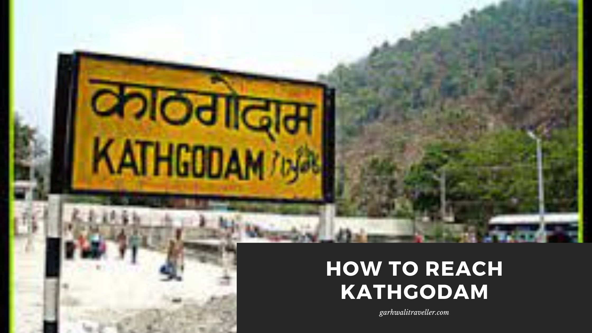
How to reach kathgodam

How to reach Kathgodam

Kathgodam is the oldest city and railway station of Uttarakhand it was constructed in the British age, when India was the colony of Britishers. This city is also known as the gateway to the Kumaon region. If you are planning to visit any destination of Kumaon and travel through the train, then Kathgodam is the last station and the rest of the journey can be completed only via the road network. In this article, we will learn about the different modes and how to reach Kathgodam. So stay on the page and read the whole article for complete information and a travel guide on Kathgodam so that you don’t face any problems reaching Kathgodam. Firstly, know the location of Kathgodam.

Location of Kathgodam

Kathgodam town is located just at a distance of 24 Km from Nainital city. This town is well-connected by the state and national highways. As Kathgodam is famous for its railway station and 2 trains run daily between Kathgodam and Delhi, the trains are very frequent between Delhi and Kathgodam.

Now let’s talk about how to reach Kathgodam.

Kathgodam how to reach there

By Road

Kathgodam is the gateway to the Kumaon region and it is famous for the oldest railway station of Uttarakhand(which was formally Uttarpradesh). Buses are easily available from ISBT Anand Vihar to Kathgodam. Buses went to Nainital stop at Haldwani which is the twin town of Kathgodam. The journey from Delhi to Kathgodam takes approximately 8 hours. The road conditions are excellent.

By Train

Kathgodam in itself is a railway station which is just 1 Km from the main Kathgodam city. It is the oldest railway station which was constructed during the Britishers era. Trains from Delhi to Kathgodam are very frequent and 2 trains run between Delhi and Kathgodam.

By Air

The nearest airport to Kathgodam is Pantnagar Airport, which is located at a distance of 32 km. The airport is connected with Delhi by 4 round flights per week. From Pantnagar airport, cabs are easily available to different destinations of Kumaon region.

So this was the complete guide on how to reach Kathgodam. Hope this travel guide to Kathgodam will help you definitely and you will enjoy your journey to Kathgodam.

Auli Uttarakhand

How to reach Auli

Auli is one of the most popular honeymoon destinations and hill stations in Uttarakhand. Every year hundreds and thousands of tourists visit Auli, especially during winter, to enjoy the beauty of snow-covered Auli and for winter skiing games. The view from the Auli ropeway I can’t explain in words. The view of Auli and Joshimath looks absolutely mesmerizing above from the ropeway. Auli is one of the most attractive tourist destinations in Chamoli, Uttarakhand. If you are also planning to visit this beautiful hill station and don’t know how to reach Auli, then don’t worry, in this article, we will guide you how you can reach Auli from Delhi and other major cities and towns of Uttarakhand via different modes of travel.

Location of Auli Hill Station

Auli is located 12 Km above from Joshimath town, which lies on the Badrinath road NH7 in Chamoli. This hill station is located at a distance of 290 Km from Dehradun and 252 Km from Rishikesh city. There is an ancient hindu Narsingh temple in Joshimath which is believed that was build in the era of Ramayana.

How to reach Auli

By Air

The nearest Airport to Auli is Jolly Grant Airport Dehradun which is at a distance of 286 Km and this airport is well-connected with the Delhi airport with regular daily flights. From Dehradun you can take Helicopter to Gauchar and then complete the rest of the journey to Auli via cab from Gauchar to Auli or even directly from Jolly Grant Airport to Auli.

By Train

The nearest railway station to Auli is Rishikesh railway station, which is approx 246 Km from Auli, Uttarakhand. Rishikesh railway station is well-connected with the other major railway stations of India. From Rishikesh you can take bus to Joshimath or book a cab to Auli directly also there is sharable taxi option available from Rishikesh.

By Road

Auli is well connected by motorable roads with the major cities and towns of Uttarakhand. Buses and cabs are easily available from Delhi, Haridwar, Rishikesh, Dehradun, Srinagar, Rudraprayag, Gauchar and Karnaprayag, Nandprayag and Chamoli. Or you can book cab to Auli with Garhwali Traveller cab service at very reasonable pricing.

Note – During winter season Auli and Joshimath face heavy snowfall and due to that road from Joshimath to Auli is not operational sometimes because of the heavy snow layer. So in that case you can reach Auli via ropeway. The last trip of the cable car to the Auli leaves Joshimath at 4:20 PM during winters and 5:30 PM during summer. You must reach Jposhimath before the last trip of a cable car. If you miss the last cable car, then you will have to stay at Joshimath and wait for the next day.

Tourists who have booked their room at Hotel Cliftop Club have to alight at tower number 8 of the cable car.

Tower no. 8 is the highest tower, and the old age peoples may find it difficult to use the stairs and walk down to the resort in the snow. Tourists are advised to be careful with the childrens and old age peoples while getting down or climbing up to the tower.

You can park your vehicles at Ropeway park Joshimath and travel to Auli by Ropeway or you can take your vehicle to Auli if the road is clear and there is no snowfall, so ask the local authorities and peoples before starting your journey from Joshimath to Auli.

Auli ropeway is the Asia’s longest and second highest ropeway and the charges are Rs. 500 only.

You can hire a cab or taxi from Joshimath to Auli which will cost you Rs. 800.

So this was the complete travel guide to reach Auli from different cities and towns of Uttarakhand and via different modes of travel. Hope this article would be useful for you, if you need any information about travel guide or travel related service then contact us.

main market karnaprayag

How to reach Karnaprayag Chamoli

Karnaprayag is a holy town located on the confluence of rivers Alaknanda and Pinder in the Chamoli district of Uttarakhand. This place has historic importance and a connection with the Mahabharata era. If you are planning to visit Karnaprayag and don’t know how to reach Karnaprayag then in this article we provide the complete travel guide to Karnaprayag so that you can reach Karnaprayag easily without any problem. So let’s get started. Firstly we will know some basic information about Karnaprayag like its location, geography, etc.

Location of Karnaprayag

Karnaprayag is located on NH 7 Badrinath Highway, Chamoli. Karnaprayag is the second entrance town of Chamoli district after Gauchar. If you are planning to visit Badrinath then Karnaprayag is one of the most important towns to stay. Karnapryag town itself is one of the blocks of Chamoli district.

By Road

Karnaprayag is well-connected with all the national and state highways of Uttarakhand and connected with all the districts via road network. You can take a direct bus from Delhi to Karnaprayag or from Haridwar, Dehradun, Rishikesh, or Haldwani. Also, you can take a sharable cab from Dehradun to Karnaprayag or Dehradun to Karnaprayag, Haridwar to Karnaprayag. Karnaprayag connects Garhwal and Kumaon regions by NH-87.

By Train

The nearest railway station to Karnaprayag is Rishikesh for the time being. But after the completion of the Rishikesh – Karnaprayag railway project, you will be able to reach Karnaprayag directly via train. We will update the information after the completion of the project.

By Air

The nearest airport to Karnaprayag is Jolly Grant Airport, Dehradun and the nearest helipad is in Gauchar which is just 10 Km away. From Dehradun, you can take a helicopter to Gauchar from Dehradun and then travel via cab from Gauchar to Karnaprayag. Gauchar to Karnaprayag distance is only 10 Km.

So this was the complete informational guide on how to reach Karnaprayag via different modes of transport.

Road route from Delhi to Karnaprayag

Delhi – Meerut – HaridwarRishikeshRudraprayagKarnaprayag

Road Route Via Haldwani Ranikhet (Kumaon Region):

Haldwani – Ranikhet – Karnaprayag

Distance Charts:
LocationDistance
Karnaprayag to New Delhi402 KM / 14 hrs.
Karnaprayag to Chandigarh678 KM/16 hrs
Karnaprayag to Haridwar193 KM /5 hrs.

You can book the Uttarakhand Roadways bus from Delhi to Karnaprayag, Srinagar Garhwal, Gopeshwar etc directly online or take it offline. For online bookings of Uttarakhand Roadways buses visit – utconline.uk.gov.in which is the official website of Uttarakhand Transport Corporation.

Places to visit nearby Karnaprayag

There are plenty of historic places to visit nearby Karnaprayag where you can go. Some of the places are listed below.

1 – Karna Temple Karnaprayag

2 – Karnaprayag Sangam

3 – Chandpur Garhi

4 – Simli

5 – Adibadri Temple

Hope this guide will help you reach Karnaprayag easily without any problems. If you need a travel guide to any destination in Uttarakhand, feel free to contact us. We have a local tour and travel guides for any destination in Uttarakhand because they are local people from that particular area, so they know deeply about everything. No other tour guide will have such knowledge.

How to reach Pauri Garhwal

How to reach Pauri Garhwal Uttarakhand

Pauri is one of the most visited hill stations in the Garhwal region of Uttarakhand. This place attracts thousands of tourists and devotees. Pauri in itself is a district of Uttarakhand and Kotdwara is the biggest and most popular town of Pauri Garhwal. Pauri is a popular summer destination because during summers this place remains cold like some other hill stations of Uttarakhand, such as Auli, Munsiyari, Nainital, Mussoorie, etc. If you are planning to visit Pauri and want to know how to reach Pauri Garhwal then below we explained all the details about the journey. Pauri is well-connected with most of the important towns and cities of Uttarakhand with road and railway networks.

This article will guide you on how you can reach Pauri via different routes and modes of transport. Hope this pauri travel guide will help you properly.

By Road

Pauri District is well-connected with the road network. Tehri – Moradabad state highway connects the major cities of Pauri district like Kotdwar, Lansdowne, Pauri, Srinagar Garhwal, etc. You can take a direct bus from most of the major cities and towns of Uttarakhand or from ISBT Kashmiri Gate, to Delhi. Pauri is connected with all the major cities of Uttarakhand like Dehradun, Haridwar, Tehri Garhwal, Srinagar Garhwal, Almora etc.

By Train

The nearest railway station to Pauri is Kotdwara which is one of the oldest railway stations in Uttarakhand. Kotdwar railway station is approx 108 Km away from the main Pauri town. Trains are frequent from other major cities of India. After reaching Kotdwar you can take a direct cab or bus to Pauri.

By Air

Jolly Grant Airport is the nearest airport to the Pauri district, which is located approx 155 Km away from Pauri. Frequent flights are available from Delhi to Dehradun and from other major airports in India. After reaching Jolly Grant, you can take a cab or bus to Pauri. Also, you can take a helicopter from Sahastradhara to Srinagar Garhwal and then from Srinagar take a direct sharable taxi or Bus to Pauri.

If you are searching for a cab from Dehradun to Srinagar Garhwal then you can book a sharable cab with Garhwali Traveller Cab Network.

Hope this article was useful for you if you are planning to visit Pauri Garhwal then you can choose any mode of transport as per your need and budget. By road is the cheapest and easy option to reach Pauri.

How to reach Tehri

How to reach New Tehri

Tehri famous for the highest dam in India. This city has historic importance and one of the oldest cities of Garhwal region. Tehri is well connected with all the most important towns and cities of Uttarakhand. You can easily reach Tehri via road and helicopter directly from Dehradun. Below is the detailed guide on how to reach New Tehri by road, train or flight.

How to reach Tehri

By Road

New Tehri is well connected by national and state highways with major destinations of Uttarakhand and other northern states of India such as Uttarpradesh, Harayana, Punjab and New Delhi. You can take direct bus from ISBT Kashmiri Gate New Delhi to Tehri. Also buses and cabs are easily available from Dehradun, Haridwar, Mussoorie, Rishikesh, Devprayag, Srinagar garhwal, Uttarkashi.

By Train

The nearest railway station to Tehri Garhwal is situated in Rishikesh. Rishikesh railway station is well connected with the major railway stations of India. Trains to Rishikesh are frequent. After reaching Rishikesh the rest of the journey to Tehri you have to complete by the road network. Taxis and buses are easily available from Rishikesh to Tehri.

By Air

Jolly Grant Airport is the nearest Airport to Tehri which is 91 Km from New Tehri. You can book helicopter from Dehradun to New Tehri from Sahastradhara helipad. Heli service is available for 3 days a weak. Heli service to Tehri Garhwal from Dehradun is the easiest way to reach Tehri. If you are traveling from flight to Dehradun then you can take helicopter from Dehradun to New Tehri or take a cab to New Tehri from Dehradun.

So this was the complete information about how to reach New Tehri by different modes of transport. Below is the distance chart to reach New Tehri from different locations of Uttarakhand and outside of Uttarakhand.

New Tehri Distance Chart

Road distance and travel time from/to New Tehri from/ to various cities within or outside of Uttarakhand – New Tehri Distance Chart

You can also book a cab from/ to New Tehri with Garhwali Traveller cab service.

How to reach Mukteshwar

How to reach Mukteshwar by Road Air or Train

Mukteshwar is a popular hill station famous for its beautiful panoramic views of the majestic great Himalayan range. You see the mesmerizing view of Nanda Devi Peak, Chaukhamba and other peaks here. Also, there are lots of adventure activities to do like rock climbing, rappelling, hiking and many more. So if you love adventure sports activity then Mukteshwar is a recommended hill station. So if you are already planning to visit and don’t know the proper route to reach Mukteshwar then below is the complete information about the route.

Mukteshwar Hill station is well-connected with most of the important cities and towns of Uttarakhand. For a more fun and adventurous journey, you can go with your personal vehicle to make your Mukteshwar journey memorable. Public transport is also a good choice to save some money and a little contribution towards nature to save Mother Earth. Also, you can spend that money on other activities and shopping at the destination.

Location of Mukteshwar Hill Station

Mukteshwar hill station is located in the Nainital district of Uttarakhand, India. This place is located at an altitude of 2171 meters(7500 feet) above sea level. The distance between Nainital and Mukteshwar is 51 Km, 72 Km from Haldwani and 343 Km from Delhi, India.

How to reach Mukteshwar

By Road

Mukteshwar is well-connected with the state and national highways of Uttarakhand. It is connected with all the major cities and towns of Northern India. You can get a direct bus from ISBT Anand Vihar to Nainital, Almora, Haldwani and Mukteshwar. Taxis are available from Delhi to Haldwani, Almora and Mukteshwar. If you want luxury bus service then many private bus service providers operate between Delhi to Kathgodam and Nainital from where you can easily get a taxi or bus to Mukteshwar. By road is the cheapest, hassle-free but time-consuming way to reach Mukteshwar.

By Air

The nearest airport to Mukteshwar is Pantnagar which is located at a distance of 94 Km from Mukteshwar. Cabs are easily available from Pantnagar Airport to Mukteshwar. Or you can book a cab to Mukteshwar via Garhwali Traveller cab service at a very reasonable price. Pantnagar Airport is well-connected with some major interstate Airports in India. From Delhi, there are a total of 4 flights every week.

By Train

Kathgodam is the closest railway station to Mukteshwar which is at a distance of 62 km from Mukteshwar. Kathgodam railway station is connected with other major railway stations in India such as Lucknow, Kolkata, Delhi, etc. 2 trains daily run between Delhi to Kathgodam and Kathgodam to Delhi. Trains are frequent between Delhi and Kathgodam because it is the gateway to the Kumaon region. From here you can take a local or state-run bus or taxi to reach Mukteshwar and the minimum fare is 70 – 100 INR depending on what kind of ride is chosen. Bus fare is cheaper than taxi to same some money take the bus.

Mukteshwar Distance Chart

Road distances and travel time to/from Mukteshwar from/to various cities within or outside of Uttarakhand – Mukteshwar Distance Chart

You can also hire a cab to Mukteshwar at reasonable prices. Book a cab to Mukteshwar with the Garhwali Traveller cab network.

How to reach Mukteshwar from Delhi

If you are from Delhi or reached to delhi from any part of India or the world and now you don’t know the proper roadmap to reach Mukteshwar from Delhi. Then you can take a bus or hire a taxi to reach Mukteshwar. Or you can take a train from Delhi to Kathgodam and then the further journey will be completed via bus or cab again. Because the closest railway station to Mukteshwar is Kathgodam.

How to reach Mukteshwar from Nainital

To reach Mukteshwar from Nainital Uttarakhand, take a bus or taxi. The total distance between Nainital and Mukteshwar is approximately 45 Km which is like a 1 and half hour journey.